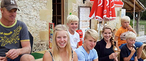
Randonnées Pédestres et Cyclistes
Les environs offrent de magnifiques sentiers de randonnée. Vous pouvez partir du camping ou d'autres points de départ. Vous pouvez télécharger des fichiers PDF et/ou GPX via les liens. Bonnes randonnées et bons vélos !
Promenades :
3 KM: Château Verteuil d'Agenais (Jaune)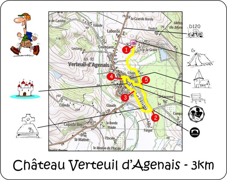
PDF: 3 KM Château Verteuil d'Agenais.pdf
GPX (.zip): 3 KM Château Verteuil d'Agenais-gpx.zip
Google Maps: 3 KM Château Verteuil d'Agenais

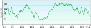
7 KM: le Thiers (Orange)![]()
PDF: 7 KM le Thiers.pdf
GPX (.ZIP): 7 KM le Thiers-gpx.zip
Google Maps: 7 KM le Thiers
6 KM: Château de Roquepiquet (Blue)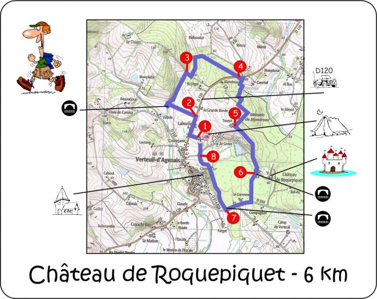
PDF: 6 KM Château de Roquepiquet.pdf
GPX (.ZIP): 6 KM Château de Roquepiquet-gpx.zip
Google Maps: 6 KM Château de Roquepiquet
7 KM: Ancienne Chapelle (Rouge)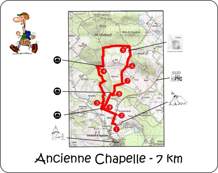
PDF: 7 KM Ancienne Chapelle.pdf
GPX (.ZIP): 7 KM Ancienne Chapelle-gpx.zip
Google Maps: 7 KM Ancienne Chapelle
Randonnées à vélo
17 KM: Le Brech (Jaune)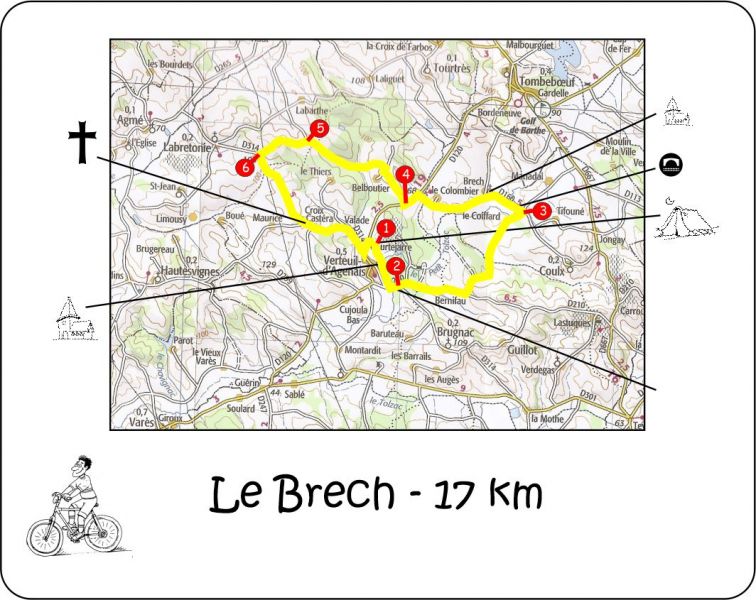
PDF: 17 KM Le Brech.pdf
GPX (.ZIP): 17 KM Le Brech-gpx.zip
Google Maps: 17 KM Le Brech
27KM: Lacastagnal (Vert)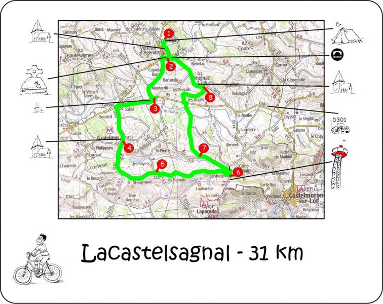
PDF: 27 KM Lacastagnal.pdf
GPX (.ZIP): 27 KM Lacastagnal-gpx.zip
Google Maps: 27 KM Lacastagnal
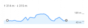
31KM: Agmé (Blue)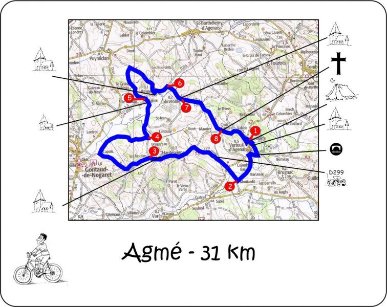
PDF: 34 KM Agmé.pdf
GPX (.ZIP): 34 KM Agmé-gpx.zip
Google Maps: 34 KM Agmé

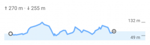
35KM: Grateloup (Rouge)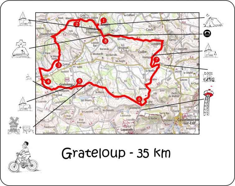
PDF: 35 KM Grateloup.pdf
GPX (.ZIP): 35 KM Grateloup-gpx.zip
Google Maps: 35 KM Grateloup
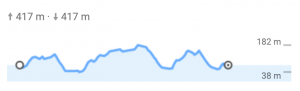
34KM: Tourtrès (Orange)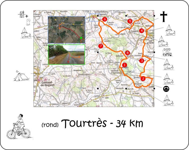
PDF: 34 KM Tourtrès.pdf
GPX (.ZIP): 34 KM Tourtrès-gpx.zip
Google my Maps: 34 KM Tourtrès
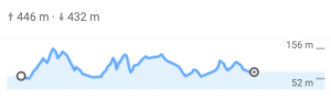
35KM: Montastruc (Violet)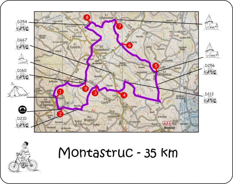
PDF: 35 KM Montastruc.pdf
GPX (.ZIP): 35 KM Montastruc-gpx.zip
Google Maps: 35 KM Montastruc
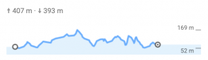
40KM: Monclar (Brun)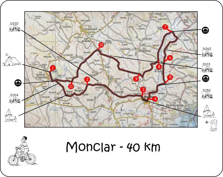
PDF: 40 KM Monclar.pdf
GPX (.ZIP): 40 KM Monclar-gpx.zip
Google Maps: 40 KM Monclar
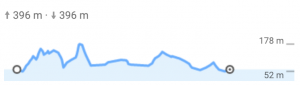
36KM: Marco Polo naar winkels Tonneins (Violet)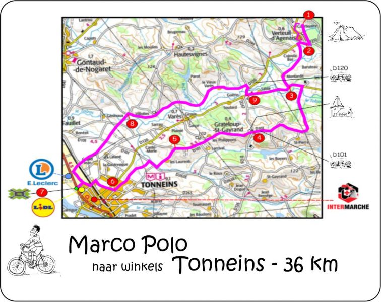
PDF: 36 KM Marco Polo naar winkels Tonneins.pdf
GPX (.ZIP): 36 KM Marco Polo naar winkels Tonneins-gpx.zip
Google Maps: 36 KM Marco Polo naar winkels Tonneins
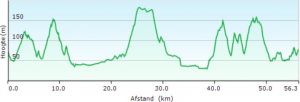
55KM: Toertje & Rembrandt (Rouge)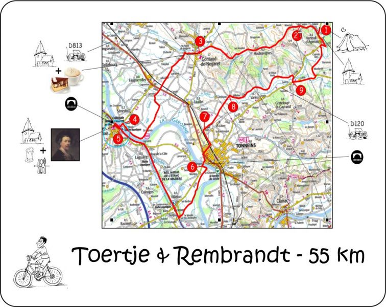
PDF: 55 KM Toertje & Rembrandt.pdf
GPX (.ZIP): 55 KM Toertje & Rembrandt-gpx.zip
Google Maps: 55 KM Toertje & Rembrandt
56KM: Dumbo-route (Blue)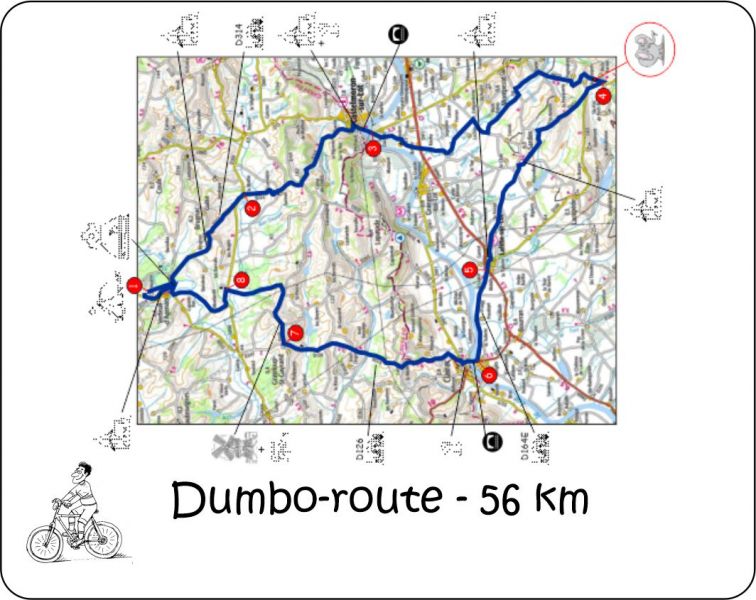
PDF: 56 KM Dumbo-route.pdf
GPX (.ZIP): 56 KM Dumbo-route-gpx.zip
Google Maps: 56 KM Dumbo-route
28KM: Toertjes-route (Orange)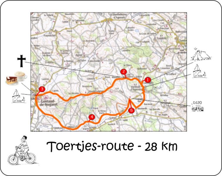
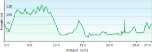
PDF: 28 KM Toertjes-route.pdf
GPX (.ZIP): 28 KM Toertjes-route-gpx.zip
Google Maps: 28 KM Toertjes-route
43KM: Laparade (Lilas)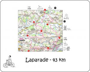
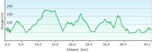
PDF: 43 KM Laparade-route.pdf
GPX (.ZIP): 43 KM Laparade-route-gpx.zip
Google Maps: 43 KM Laparade-route
58KM: Monbahus (Vert)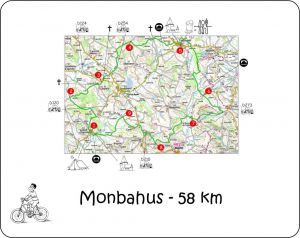
PDF: 58 KM Monbahus-route.pdf
GPX (.ZIP): 58 KM Monbahus-route-gpx.zip
Google Maps: 58 KM Monbahus-route
44KM: Grote Jan lust ook een toertje (Brun)
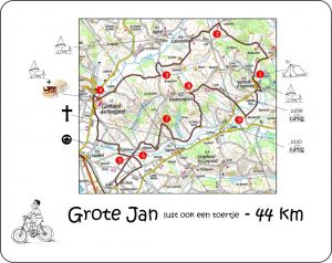
PDF: 44 KM Grote Jan lust ook een toertje-route.pdf
GPX (.ZIP): 44 KM-Grote Jan lust ook een toertje-route-gpx.zip
Google Maps: 44 KM Grote Jan lust ook een toertje-route
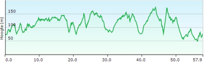
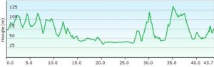
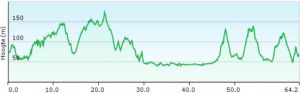
58KM: Saint Pastour (Rouge)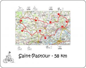
PDF: 58 KM Saint Pastour-route.pdf
GPX (.ZIP): 58 KM Saint Pastour-route-gpx.zip
Google Maps: 58 KM Saint Pastour-route
55KM: Lauzun (Jaune)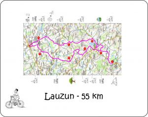
PDF: 55 KM Lauzun-route.pdf
GPX (.ZIP): 55 KM Lauzun-gpx.zip
Google Maps: 55 KM Lauzin-route
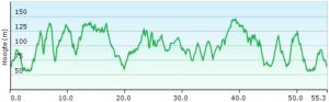
27KM: Le Panorama (Rouge)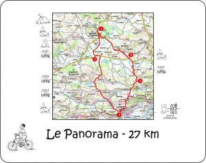
PDF: 27 KM Le Panorama-route.pdf
GPX (.ZIP): 27 KM Le Panorama-gpx.zip
Google Maps: 27 KM Le Panorama-route
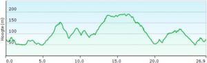
44KM: Maandagochtendmarkt - Miramont-de-Guyenne (Rouge)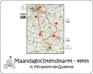
PDF: 44 KM Maandagochtendmarkt - Miramont-de-Guyenne.pdf
GPX (.ZIP): 44 KM Maandagochtendmarkt-gpx.zip
Google Maps: 44 KM Maandagochtendmarkt - Miramont-de-Guyenne-route